IGiG Scientific Seminar – Dr Tzu-Pang Tseng, Department of Geomatics, National Cheng Kung University, Taiwan
12-06-2023
The IGG is pleased to invite you to a scientific seminar, which will be held remotely using the Zoom platform. The presentation entitled "Satellite orbit and clock information and their applications" will be given by Dr Tzu-Pang Tseng (Department of Geomatics, National Cheng Kung University, Taiwan).
The seminar will begin on Thursday 15 June 2023 at 09:00 AM (CEST).
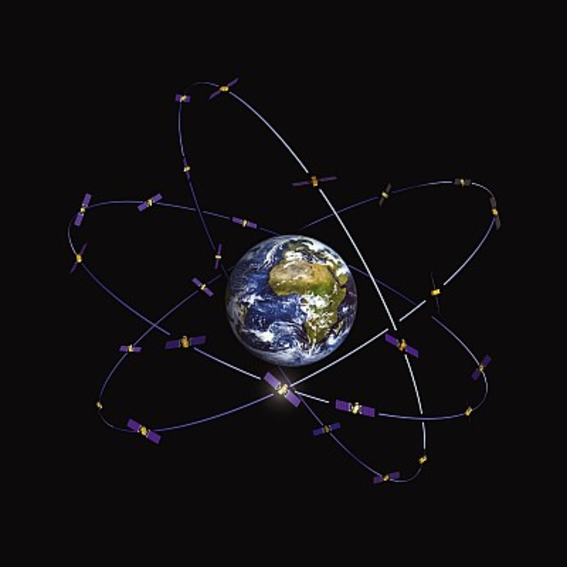
Europe’s Galileo constellation Courtesy of ESA - J. Huart
2nd GATHERS Summer School in TU Delft, Netherlands - registration still open!
02-06-2023
Summer School 2023 of the Twinning Project “GATHERS – Integration of Geodetic and imAging TecHniques for monitoring and modelling the Earth's surface defoRmations and Seismic risk” will be held from August 28 th to September 1 st 2023, hosted by Delft University of Technology (TUDelft), the Netherlands. Department of Geoscience and Remote Sensing at Delft University of Technology will host a 2nd GATHERS Summer School in the last week of August 2023. The School topics will assemble theoretical and practical aspects in surface deformation monitoring built on the three main Earth’s observing methods explored within the GATHERS project:
The IGG is pleased to invite you to a scientific seminar, which will be held remotely using the Zoom platform. The presentation entitled "The application of inter-satellite links in orbit determination of GNSS satellites: simulation studies" will be given by Dr. Tomasz Kur from our institute.
The seminar will begin on Thursday 25 May 2023 at 09:00 AM (CEST).
The IGG is pleased to invite you to a scientific seminar, which will be held remotely using the Zoom platform. The presentation entitled "Development of an API to support the decision-making process for investing in online advertising campaigns" will be given by Barbara Hordyniec, M.Sc. from our institute.
The seminar will begin on Thursday 18 May 2023 at 09:00 AM (CEST).
The Institute of Geodesy and Geoinformatics presents a proposal of paid summer internships for students for 2023. The internships duration is three months. The titles and topics of the internships are in the appendix. The deadline for submitting applications is June 15, 2023. Please contact the tutors of individual internships directly (e-mail).
 more...